
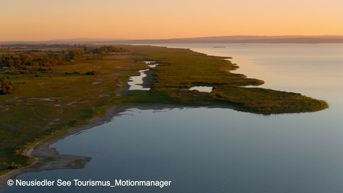
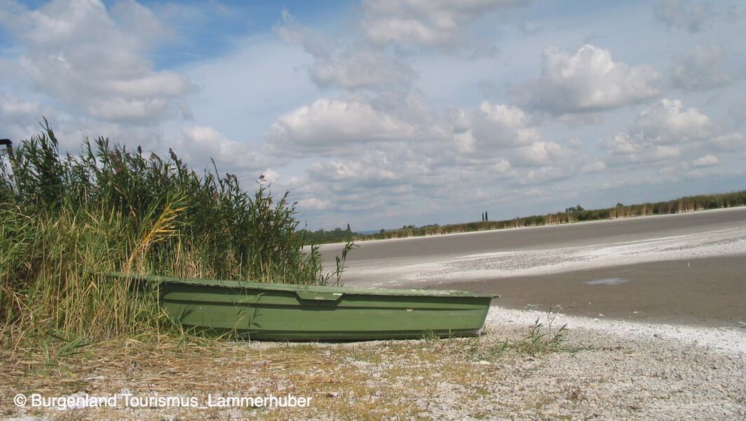
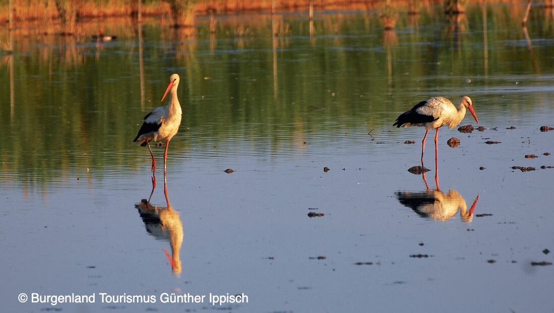
Welcome to Nationalpark Neusiedler See – Seewinkel, Austrias only steppe-nationalpark! Vast meadows and pastures, saltponds, reedbeds and a rich variety of animal- and plant-species, amongst those about 340 bird-species, are awaiting you!
|
|
|
|
|
|

|
|
|
A third of the country's area is protected
37% of the agricultural land is cultivated in organic farming, more than every second municipality is part of a climate and energy model region or part of the climate alliance network Based on the Paris Agreement, Burgenland has set itself the goal of becoming climate neutral latest 2050 and would like to do his part to curb global warming to a maximum of 2 degrees. With a climate and energy sztrategy, Burgenland would like to foresee the corresponding path by 2050 with interim goals by 2040. The result is a strategy with a total of 75 measures in ten fields of action like energy generation and energy saving through spatial planning, agriculture, mobility, waste manegement, reasearch, education and awareness raising. |
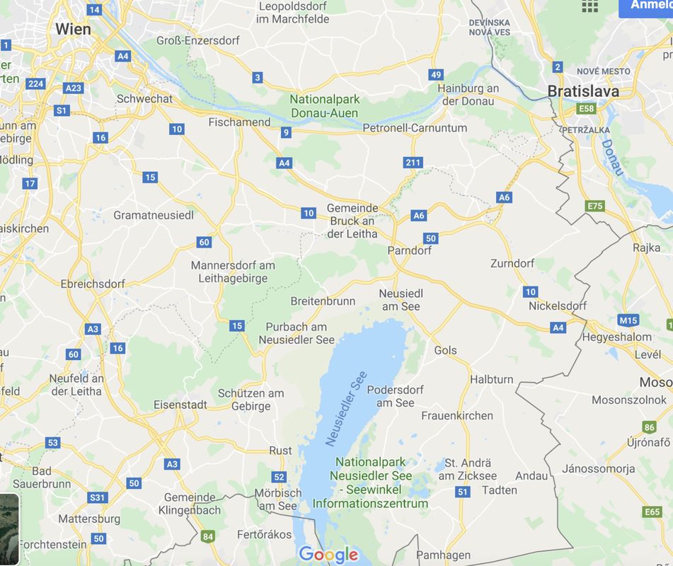
A UNESCO World Heritage site, five different landscapes compose the area of the Neusiedler See - Seewinkel National Park:
- To the west the Leithagebirge (Leitha Range) 440 metres high and about 30 km long forms a boundary to the neighbouring province.
- To the north there is the Parndorf Plateau, a 200 km² gravel field, 40 meters above the lake basin
- To the southeast there is the Hanság, for the most part on Hungarian territory; it occupies some 460 km².
- To the east -between the Parndorf Plateau and the Main Regulation Channel (Einserkanal) there is the plain called Seewinkel that covers 450 km².
- Today, the lake covers about 320 km². It is situated at the lowest point of the Small Hungarian Plain, in a basin without outlet, at about 113 metres above sea level.